
Atlantic 'weather bomb' to batter UK with 80mph gales after a REMARKABLE warm September spell
From the Newshound archive · first published 30 September 2026.
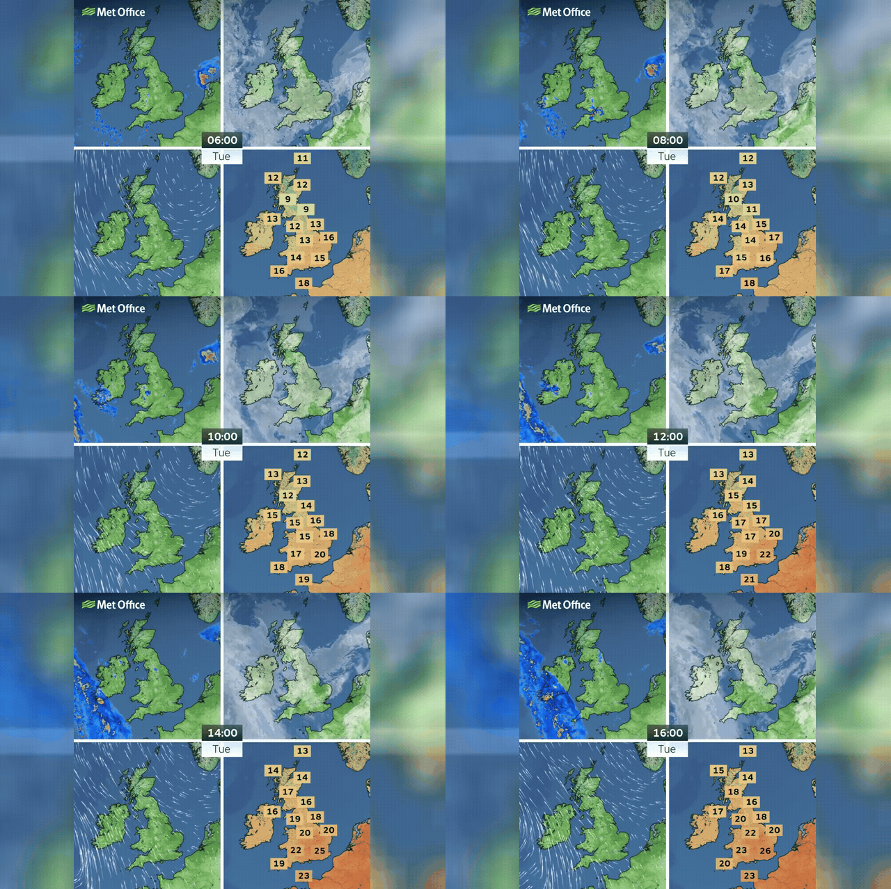
Britain is bracing for a dramatic end to an extraordinary late-September heatwave, with London recording a rare 'tropical night' of 21.8C at 2am on Tuesday and temperatures soaring to 28C during the day. A rapidly deepening Atlantic low-pressure system — described as 'explosive cyclogenesis' or a 'weather bomb' — is now expected to merge with a second system west of Ireland, bringing gale-force winds, heavy rain and thunderstorms. Met Office chief forecaster Matthew Lehnert warned the deep Atlantic low is the 'primary driver' of UK weather over the coming days. Winds of up to 50mph are expected inland, with the fiercest gusts potentially exceeding 80mph offshore west of Ireland.
London reached 25C to 26C this afternoon before thunderstorms swept in, with overnight lows staying around 19C across southern and eastern parts.
The storm's arrival coincides with spring tides, heightening the danger of large waves breaching coastal defences and inundating western coastal areas.
Calmer weather is expected to return by the weekend as high pressure extends its reach, though western coasts will see scattered showers persisting through Friday.