
Bonfire Night revellers are told to wrap up as temperatures dip into single digits under 'anticyclonic gloom'
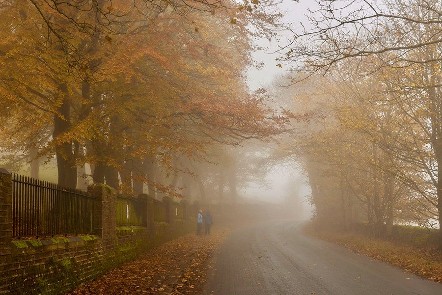
Bonfire Night on Thursday is set to be significantly colder than last year, with temperatures forecast to drop to the mid-single figures as 'anticyclonic gloom' settles over the UK. High pressure is trapping moisture and low cloud, bringing mist, fog and drizzle rather than the sunny spells typically associated with the phenomenon in summer months. Met Office chief forecaster Paul Gunderson warned the still conditions prevent fog from dispersing, with the grey skies expected to persist until at least next Tuesday.
Last year's Bonfire Night was the warmest on record for several stations including Southampton and Anglesey, with southern areas staying above 14C.