
Britain basks in 27C 'tropical night' heat today before Atlantic 'weather bomb' hits with 50mph gusts tomorrow
From the Newshound archive · first published 28 September 2026 · last updated 30 September 2026.
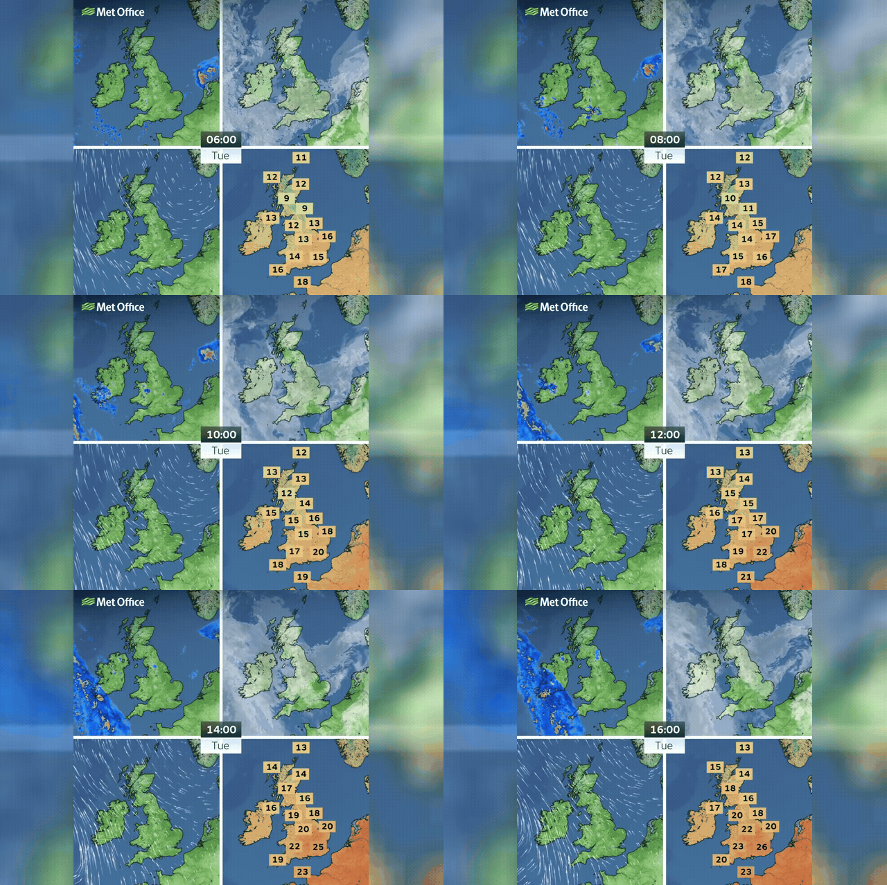
Southern and eastern England are recording highs of 27C today — a figure that runs 7C warmer than late September norms — with London one of several areas expected to experience a 'tropical night', meaning temperatures will remain above 20C until morning. Met Office chief forecaster Matthew Lehnert warned that a deep Atlantic low is undergoing explosive cyclogenesis, projected to deepen by 32mb in 24 hours — well above the 24mb threshold that officially defines a 'weather bomb'. Wet and windy conditions will sweep in from the west Tuesday night, bringing 40mm of rain and 50mph gusts across much of the UK on Wednesday.
The warmth is being drawn northward by a strong southerly airflow pulling heat up from France and Spain, where temperatures have widely exceeded 30C.
Met Office spokesman Stephen Dixon warned an overnight low of 19C 'could feel a touch uncomfortable for some, particularly as we're in late September.'
Western coastal areas face a risk of 'very large waves' on Wednesday as the storm front pushes east.