
Britain basks in 28C 'heat dome' today but temperatures will fall back closer to average this weekend
From the Newshound archive · first published 23 September 2026 · last updated 25 September 2026.
A North African 'heat dome' is pushing an exceptional blast of late-September warmth across southern England today, with the Met Office forecasting highs of 27C to 28C in London, Surrey, Essex and Kent by 4pm. Deputy chief forecaster Dan Holley warned a weakening cold front will drift southeast overnight into Saturday, pulling temperatures back toward seasonal norms. Drought conditions across London and the southeast are set to continue into next week, with little rain forecast for those areas.
Heavier rain could develop across eastern England later today as the warm front collides with more humid air, the Met Office warns.
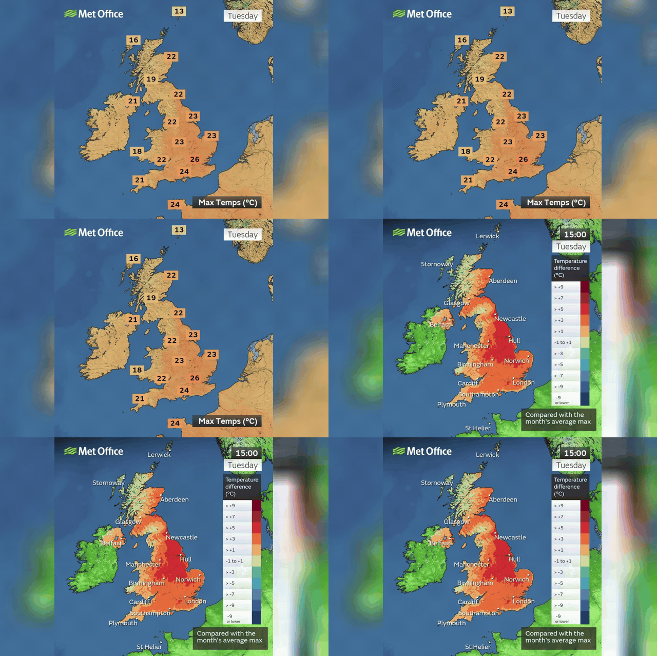
Next week will stay warmer than average, peaking at 24C to 25C in the southeast on Tuesday, though that falls short of the Met Office's official heatwave threshold of 26C to 28C for three consecutive days.
October remains uncertain, but forecasters say it could turn wetter and windier as autumn finally takes hold.