
Britain is shrouded in 'anticyclonic gloom' of fog and drizzle as Bonfire Night revellers face a chilly, grey evening
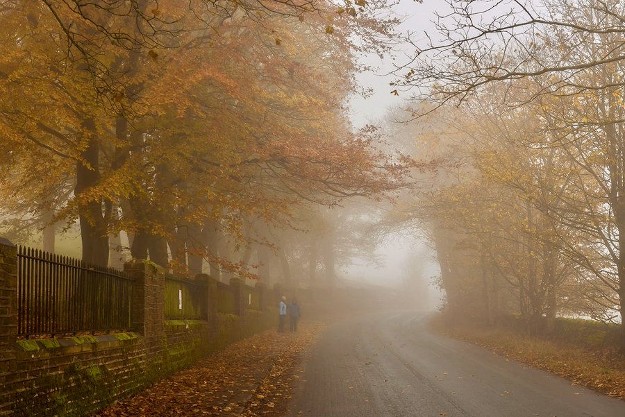
The Met Office has warned that "highly unusual disruption" to the stratospheric polar vortex is now underway, raising the prospect of a prolonged cold spell beyond this week's murk. Met Office chief forecaster Paul Gunderson confirmed the still, high-pressure conditions will trap mist, fog and cloud until at least next Tuesday across much of the country, with London highs of only 10-11C.
WXCharts maps show up to 12 counties across Scotland and northern England may receive snow before November 12.
Thursday's Bonfire Night will be far colder than last year, when parts of southern England stayed above 14C — a record for some stations.
Should the polar vortex disruption develop into a full Sudden Stratospheric Warming, it would be the earliest such event ever recorded.