
Google Earth's updated Gaza images reveal 82% of structures damaged as death toll tops 74,000
From the Newshound archive · first published 28 September 2026 · last updated 29 September 2026.
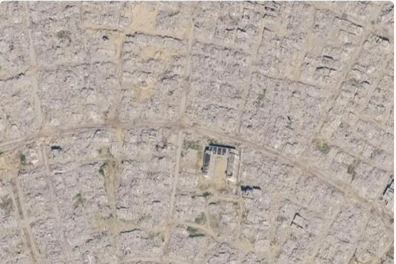

Updated satellite imagery on Google Maps and Google Earth has gone viral, exposing the full scale of destruction across the Gaza Strip for the first time since the war began in October 2023. UN Satellite Centre data confirms that approximately 201,290 structures — around 82% of all buildings in Gaza — sustained damage as of June 2026, with 134,422 classified as destroyed. Gaza's Health Ministry reports more than 74,000 Palestinians killed since the conflict began. A ceasefire took effect on 10 October 2025, but structurally compromised buildings continue to collapse on returning residents.
The updated images show entire residential neighbourhoods in Rafah, Khan Yunis and Gaza City reduced to rubble, with roads still visible but buildings vanished beneath debris.
Around Al-Shifa Hospital, satellite views show sweeping destruction at and around the medical complex, which Israeli forces besieged in April 2024.
Australian Strategic Policy Institute analyst Nathan Ruser wrote that the imagery 'shows the reality of Gaza in shocking resolution', with one post accompanying the footage drawing around two million views.