London's mild spell is set to end within days as cold front sweeps in after ex-hurricane warmth
From the Newshound archive · first published 12 October 2026 · last updated 13 October 2026.
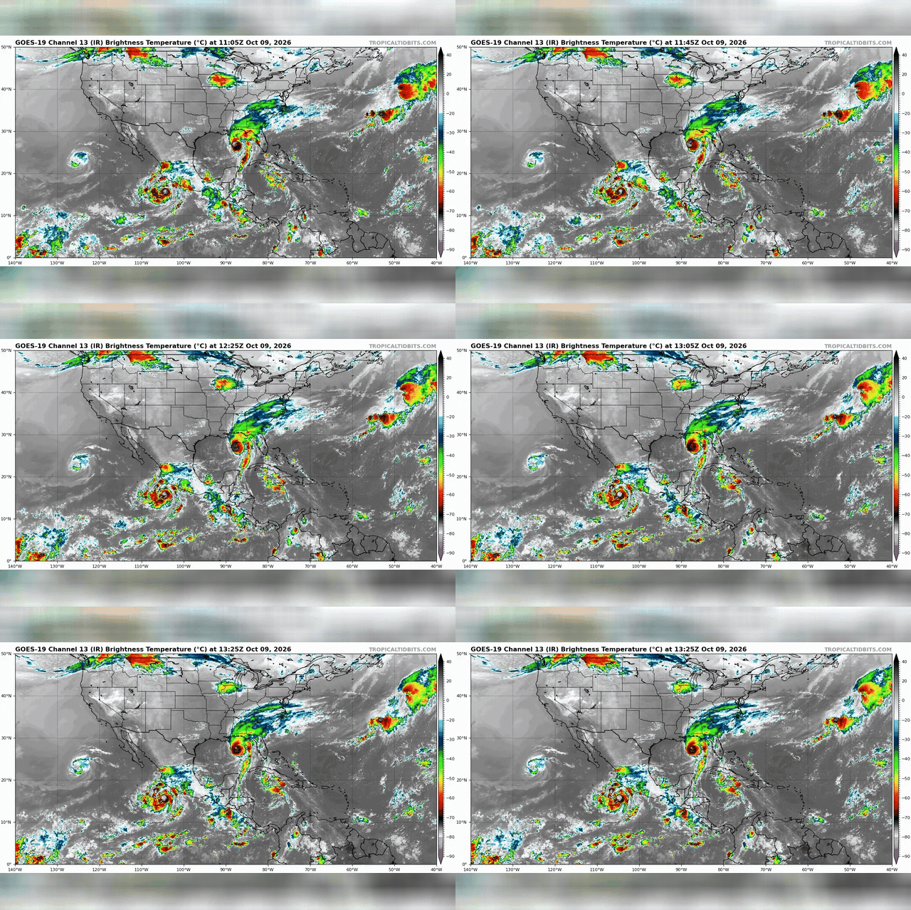
Three storm systems active around the coastlines of the US and Mexico. The remnants of Hurricane Isaias are forecast to push UK temperatures close to 20C before heavy rain moves in later this week.
Britain is bracing for an unseasonably warm spell this week, driven by southerly air carried north by the remnants of Hurricane Isaias. Monday night temperatures in parts of England could stay as high as 18C, just shy of the country's October record of 18.6C. Tuesday is expected to be the warmest day, with low 20s possible across southern and eastern England and 23C possible in East Anglia.
The warm spell follows a cool weekend of north-westerly winds, with cloud and patchy rain likely for much of Monday before milder conditions take hold.
Heavy rain and strong winds are forecast to arrive from the northwest on Thursday night, ending the warm spell.
Yorkshire has already had a drought declared after recent dry weather, though forecasters warn this week's rain will fall short of what is needed to ease it.