
'Weather bomb' to batter UK with gale-force winds tonight after record-breaking 24C autumn warmth
From the Newshound archive · first published 30 September 2026.
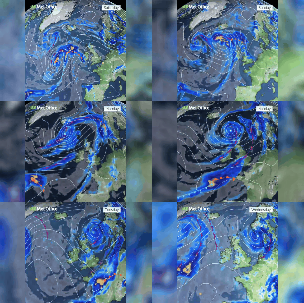
A rapidly deepening Atlantic storm will bring gale-force winds, turbulent seas and torrential rain to Britain within hours, drawing a dramatic close to an exceptional warm spell that saw temperatures climb to 24C. Two low-pressure systems are merging west of Ireland in what forecasters term explosive cyclogenesis — a 'weather bomb' — with gusts of up to 54mph expected along coastal areas. Spring tides heighten the risk of large waves breaching sea defences and causing flooding. In southern and eastern parts of the UK, overnight temperatures could remain as high as 19C even as the storm moves in.
The storm's core is expected to peak by late morning, though the most extreme winds — potentially exceeding 80mph — should stay well out to sea, positioned west of Ireland.
Ireland and western coastal areas face the worst conditions, with Force 8 to Force 9 gusts in exposed locations and seas forecast to turn very rough.
Despite the incoming battering, temperatures in southern England could still reach the mid-twenties as the week progresses, brought north by a warm southerly airflow.